Date published: 2025-03-18 | Category: Improving people's lives, Roads, travel and transport
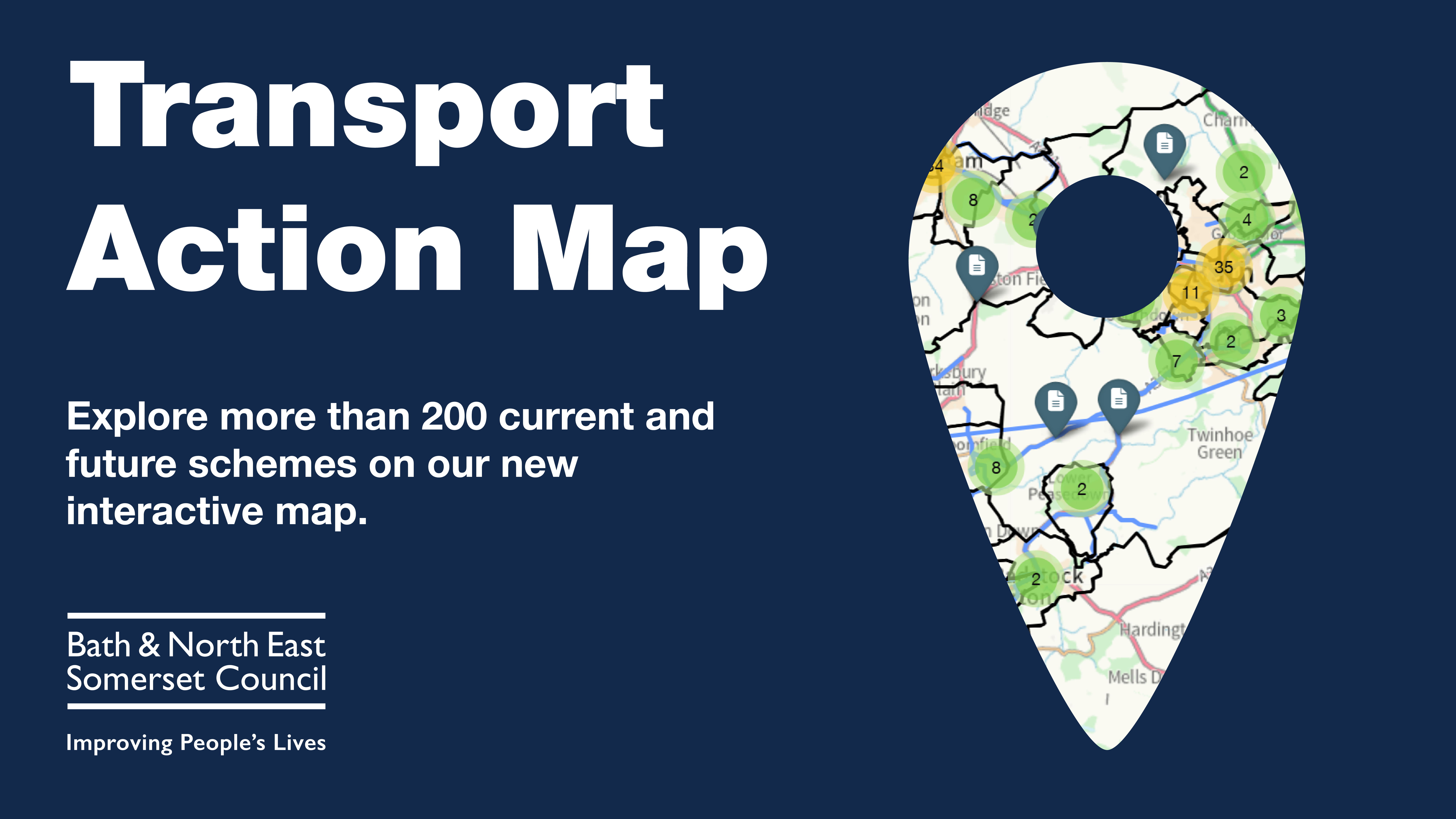
An innovative and interactive tool that highlights more than 200 current and future transport projects set to be delivered, developed and studied over the next three years has been launched by Bath & North East Somerset Council.
The Transport Action Map offers residents, businesses and stakeholders a comprehensive overview of the council's ambitious plans to enhance transportation infrastructure across the district.
The map provides a user-friendly, one-stop shop where users can access detailed information on more than 200 transport schemes. From planned construction dates to up-to-date progress reports, the map is a valuable resource for anyone interested in the future of travel in Bath and North East Somerset.
It includes schemes included in the 2025/26 budget under the Local Active Travel Safety Programme and Highways Maintenance Programme, such as South Road improvements to pedestrian safety in Timsbury, extending Park & Ride into the evenings on a trial basis and ongoing Public Rights of Way work in B&NES.
The Transport Action Map will be updated and improved as schemes reach completion, new projects are added, and additional functionality is provided to enhance the experience.
"Our Transport Action Map provides clarity to what is happening and planned for transport in B&NES. We recognise that with so many individual projects on the horizon, it can be challenging to see how they all fit together. This map allows us to clearly demonstrate the scale of our ambitions and the comprehensive nature of our approach to improving transport across our community," said Councillor Manda Rigby, Cabinet Member for Transport.
"We are committed to delivering an unprecedented number of transport schemes that will benefit all who live, work, and travel in our area."
The projects featured on the map range from road safety improvements and active travel initiatives to major infrastructure developments and public transport enhancements. The map's interactive features enable users to stay informed about upcoming works, to view a project’s timeline and will be regularly updated with new schemes added when announced.
Bath & North East Somerset Council invites everyone to explore the Transport Action Map and stay engaged with the ongoing efforts to make transport safer, more sustainable, and better connected throughout the region.